
Hunningen topographic map
Interactive map
Click on the map to display elevation.
About this map
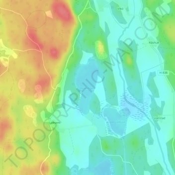
Name: Hunningen topographic map, elevation, terrain.
Location: Hunningen, Lidhem, Vimmerby kommun, Kalmar län, Zweden (57.75938 16.05534 57.76772 16.06195)
Average elevation: 119 m
Minimum elevation: 95 m
Maximum elevation: 160 m