
Lupaka topographic map
Interactive map
Click on the map to display elevation.
About this map
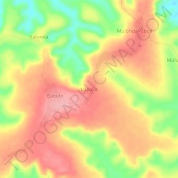
Name: Lupaka topographic map, elevation, terrain.
Location: Lupaka, Lulua, Central Kasai, DR Congo (-5.73327 22.41974 -5.69327 22.45974)
Average elevation: 638 m
Minimum elevation: 565 m
Maximum elevation: 689 m