
Hayman Park topographic map
Interactive map
Click on the map to display elevation.
About this map
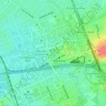
Name: Hayman Park topographic map, elevation, terrain.
Average elevation: 29 m
Minimum elevation: 12 m
Maximum elevation: 74 m
Other topographic maps
Click on a map to view its topography, its elevation and its terrain.
Manukau Sports Bowl
New Zealand > Auckland > Otara-Papatoetoe
Manukau Sports Bowl, Clover Park, Otara-Papatoetoe, Auckland, New Zealand
Average elevation: 36 m