
Várzea topographic map
Interactive map
Click on the map to display elevation.
About this map
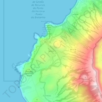
Name: Várzea topographic map, elevation, terrain.
Location: Várzea, Ginetes, Ponta Delgada, Açores, 9555-066, Portugal (37.84703 -25.85687 37.88703 -25.81687)
Average elevation: 162 m
Minimum elevation: -1 m
Maximum elevation: 555 m