
Flores Magón topographic map
Interactive map
Click on the map to display elevation.
About this map
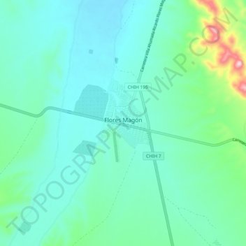
Name: Flores Magón topographic map, elevation, terrain.
Location: Flores Magón, Buenaventura, Chihuahua, Mexico (29.90267 -106.99832 29.98267 -106.91832)
Average elevation: 1,497 m
Minimum elevation: 1,429 m
Maximum elevation: 1,813 m