
Ilchester topographic map
Interactive map
Click on the map to display elevation.
About this map
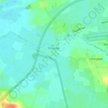
Name: Ilchester topographic map, elevation, terrain.
Location: Ilchester, Somerset, Inglaterra, Reino Unido (50.97887 -2.71707 51.02221 -2.67172)
Average elevation: 16 m
Minimum elevation: 7 m
Maximum elevation: 53 m