
Kase topographic map
Interactive map
Click on the map to display elevation.
About this map
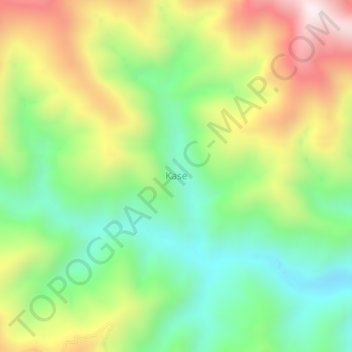
Name: Kase topographic map, elevation, terrain.
Location: Kase, Buru Selatan, Moluccas, Indonesia (-3.75414 126.57420 -3.71414 126.61420)
Average elevation: 560 m
Minimum elevation: 223 m
Maximum elevation: 1,054 m