
Pino Suárez topographic map
Interactive map
Click on the map to display elevation.
About this map
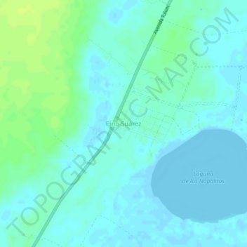
Name: Pino Suárez topographic map, elevation, terrain.
Location: Pino Suárez, Felipe Carrillo Puerto, Quintana Roo, Mexico (20.09040 -87.61121 20.13040 -87.57121)
Average elevation: 4 m
Minimum elevation: -4 m
Maximum elevation: 14 m
Other topographic maps
Click on a map to view its topography, its elevation and its terrain.
Tampak
Mexico > Quintana Roo > Felipe Carrillo Puerto
Tampak, Felipe Carrillo Puerto, Quintana Roo, Mexico
Average elevation: 28 m