
Santoalla topographic map
Interactive map
Click on the map to display elevation.
About this map
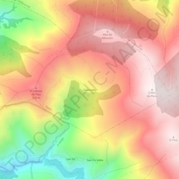
Name: Santoalla topographic map, elevation, terrain.
Average elevation: 1,018 m
Minimum elevation: 463 m
Maximum elevation: 1,377 m
Other topographic maps
Click on a map to view its topography, its elevation and its terrain.
Freixido
España > Galicia > Valdeorras > Petín
Freixido, Petín, Valdeorras, Orense, Galicia, España
Average elevation: 404 m