
Thank you for supporting this site ❤️
Make a donation
Make a donation
Kerkrade topographic map
Click on the map to display elevation.
Thank you for supporting this site ❤️
Make a donation
Make a donation
About this map
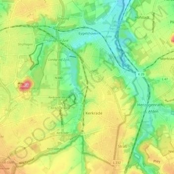
Name: Kerkrade topographic map, elevation, terrain.
Location: Kerkrade, Limburg, Netherlands (50.84368 6.00057 50.90577 6.08810)
Average elevation: 140 m
Minimum elevation: 88 m
Maximum elevation: 212 m
Thank you for supporting this site ❤️
Make a donation
Make a donation