
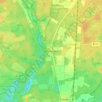
Dethlingen topographic map
Interactive map
Click on the map to display elevation.
About this map
Name: Dethlingen topographic map, elevation, terrain.
Location: Dethlingen, Munster, Heidekreis, Nedersaksen, Duitsland (52.93254 10.10781 52.97254 10.14781)
Average elevation: 73 m
Minimum elevation: 58 m
Maximum elevation: 83 m