
Rice Lake topographic map
Interactive map
Click on the map to display elevation.
About this map
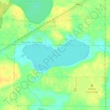
Name: Rice Lake topographic map, elevation, terrain.
Location: Rice Lake, Carver County, Minnesota, United States (44.79830 -93.87867 44.80605 -93.85467)
Average elevation: 298 m
Minimum elevation: 285 m
Maximum elevation: 312 m
Other topographic maps
Click on a map to view its topography, its elevation and its terrain.
Barnes Lake
United States > Minnesota > Carver County > Norwood Young America
Barnes Lake, Norwood Young America, Young America Township, Carver County, Minnesota, United States
Average elevation: 300 m
New Germany
United States > Minnesota > Carver County
New Germany, Carver County, Minnesota, United States
Average elevation: 299 m
Victoria
United States > Minnesota > Carver County > Victoria
Victoria, Carver County, Minnesota, 55386, United States
Average elevation: 298 m