
A Grova topographic map
Interactive map
Click on the map to display elevation.
About this map
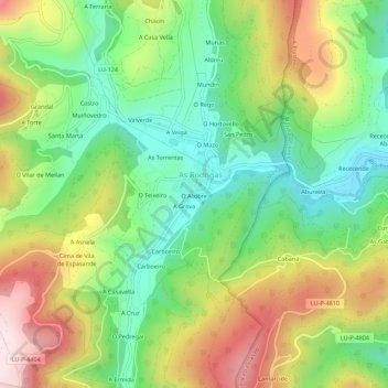
Name: A Grova topographic map, elevation, terrain.
Location: A Grova, Riotorto, Meira, Lugo, Galicia, 27743, España (43.31979 -7.28234 43.35979 -7.24234)
Average elevation: 328 m
Minimum elevation: 133 m
Maximum elevation: 610 m