
Jassy topographic map
Interactive map
Click on the map to display elevation.
About this map
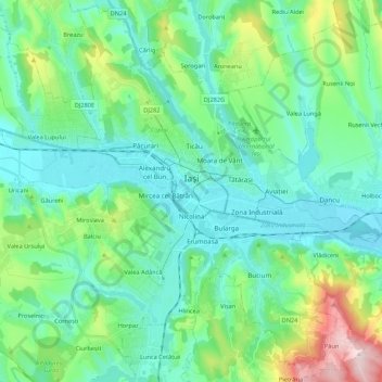
Name: Jassy topographic map, elevation, terrain.
Location: Jassy, Zona Metropolitană Iași, Jassy, Rumänien (47.08482 27.47652 47.22790 27.69202)
Average elevation: 114 m
Minimum elevation: 34 m
Maximum elevation: 408 m
Other topographic maps
Click on a map to view its topography, its elevation and its terrain.