
Hoshangabad topographic map
Interactive map
Click on the map to display elevation.
About this map
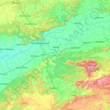
Name: Hoshangabad topographic map, elevation, terrain.
Location: Hoshangabad, Madhya Pradesh, India (22.22186 77.20371 22.98811 78.69160)
Average elevation: 457 m
Minimum elevation: 267 m
Maximum elevation: 1,294 m