
Sungai Rusa topographic map
Interactive map
Click on the map to display elevation.
About this map
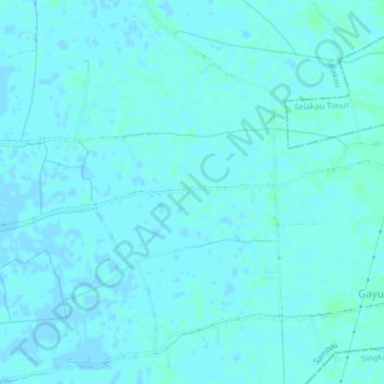
Name: Sungai Rusa topographic map, elevation, terrain.
Location: Sungai Rusa, West Kalimantan, Indonesia (1.00157 108.98979 1.04157 109.02979)
Average elevation: 2 m
Minimum elevation: -1 m
Maximum elevation: 4 m