
Schlüchtern topographic map
Interactive map
Click on the map to display elevation.
About this map
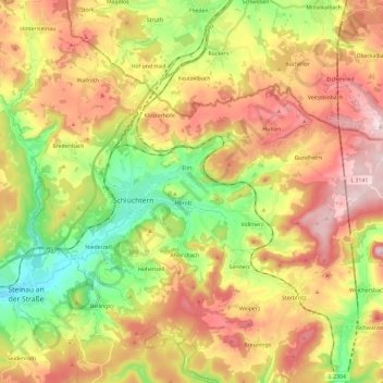
Name: Schlüchtern topographic map, elevation, terrain.
Location: Schlüchtern, Main-Kinzig-Kreis, Hessen, 36381, Duitsland (50.29191 9.44817 50.41132 9.68351)
Average elevation: 367 m
Minimum elevation: 169 m
Maximum elevation: 580 m