
Revilla topographic map
Interactive map
Click on the map to display elevation.
About this map
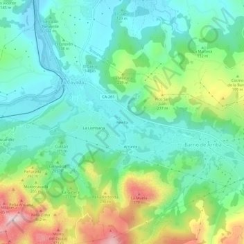
Name: Revilla topographic map, elevation, terrain.
Location: Revilla, Riotuerto, Trasmiera, Cantabria, 39720, Spain (43.32533 -3.71401 43.36533 -3.67401)
Average elevation: 160 m
Minimum elevation: 43 m
Maximum elevation: 440 m