
Magacela topographic map
Interactive map
Click on the map to display elevation.
About this map
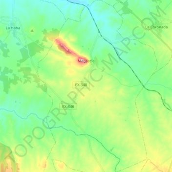
Name: Magacela topographic map, elevation, terrain.
Location: Magacela, Badajoz, Estremadura, 06468, Espanha (38.81683 -5.77844 38.93861 -5.66962)
Average elevation: 356 m
Minimum elevation: 280 m
Maximum elevation: 547 m