
Montjovet topographic map
Interactive map
Click on the map to display elevation.
About this map
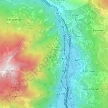
Name: Montjovet topographic map, elevation, terrain.
Location: Montjovet, Valle d'Aosta, Italia (45.68600 7.62648 45.73898 7.70064)
Average elevation: 952 m
Minimum elevation: 368 m
Maximum elevation: 2,133 m