
Jerukagung topographic map
Interactive map
Click on the map to display elevation.
About this map
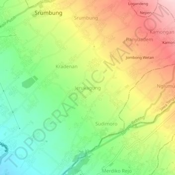
Name: Jerukagung topographic map, elevation, terrain.
Location: Jerukagung, Magelang, Central Java, 56483, Indonesia (-7.63446 110.32016 -7.59446 110.36016)
Average elevation: 461 m
Minimum elevation: 355 m
Maximum elevation: 588 m