
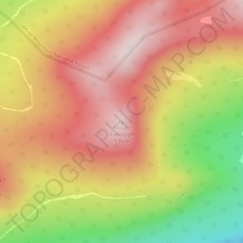
Mount Randolph topographic map
Interactive map
Click on the map to display elevation.
About this map
Name: Mount Randolph topographic map, elevation, terrain.
Location: Mount Randolph, Randolph, Coös County, New Hampshire, USA (44.38862 -71.31791 44.38872 -71.31781)
Average elevation: 743 m
Minimum elevation: 461 m
Maximum elevation: 934 m