
North Bend topographic map
Interactive map
Click on the map to display elevation.
About this map
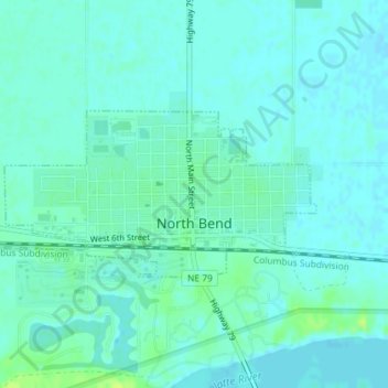
Name: North Bend topographic map, elevation, terrain.
Location: North Bend, Dodge County, Nebraska, United States (41.45893 -96.79765 41.47053 -96.76867)
Average elevation: 388 m
Minimum elevation: 384 m
Maximum elevation: 398 m
Other topographic maps
Click on a map to view its topography, its elevation and its terrain.
Hooper
United States > Nebraska > Dodge County
Hooper, Dodge County, Nebraska, United States
Average elevation: 381 m
Winslow
United States > Nebraska > Dodge County
Winslow, Dodge County, Nebraska, 68072, United States
Average elevation: 374 m
Fremont
United States > Nebraska > Dodge County
Fremont, Dodge County, Nebraska, 68025, United States
Average elevation: 365 m