
Le Sapey topographic map
Interactive map
Click on the map to display elevation.
About this map
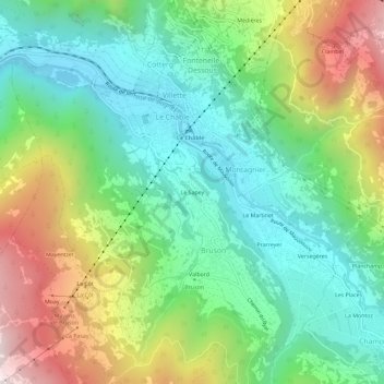
Name: Le Sapey topographic map, elevation, terrain.
Location: Le Sapey, Bruson, Val de Bagnes, Entremont, Valais, 1934, Suisse (46.05227 7.19548 46.09227 7.23548)
Average elevation: 1,210 m
Minimum elevation: 791 m
Maximum elevation: 2,008 m
Other topographic maps
Click on a map to view its topography, its elevation and its terrain.