
Jou topographic map
Interactive map
Click on the map to display elevation.
About this map
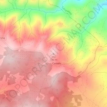
Name: Jou topographic map, elevation, terrain.
Location: Jou, Murça, Vila Real, 5090-073, Portugal (41.48749 -7.39899 41.48759 -7.39889)
Average elevation: 623 m
Minimum elevation: 416 m
Maximum elevation: 729 m
Other topographic maps
Click on a map to view its topography, its elevation and its terrain.