
Staffanstorp topographic map
Interactive map
Click on the map to display elevation.
About this map
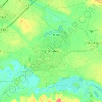
Name: Staffanstorp topographic map, elevation, terrain.
Location: Staffanstorp, Provincia de Escania, Götaland, 24523, Suecia (55.60274 13.17140 55.68274 13.25140)
Average elevation: 18 m
Minimum elevation: 3 m
Maximum elevation: 47 m