
Општина Књажевац topographic map
Interactive map
Click on the map to display elevation.
About this map
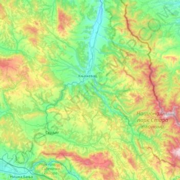
Name: Општина Књажевац topographic map, elevation, terrain.
Average elevation: 601 m
Minimum elevation: 162 m
Maximum elevation: 1,716 m
Other topographic maps
Click on a map to view its topography, its elevation and its terrain.
Црни Врх
Serbie > Serbie centrale > Зајечарски управни округ > Општина Књажевац
Црни Врх, Општина Књажевац, Зајечарски управни округ, Serbie centrale, Serbie
Average elevation: 974 m