
Kamanga topographic map
Interactive map
Click on the map to display elevation.
About this map
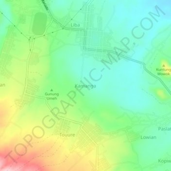
Name: Kamanga topographic map, elevation, terrain.
Location: Kamanga, North Sulawesi, Indonesia (1.14766 124.78788 1.18766 124.82788)
Average elevation: 767 m
Minimum elevation: 699 m
Maximum elevation: 897 m