
Nicksville topographic map
Interactive map
Click on the map to display elevation.
About this map
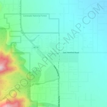
Name: Nicksville topographic map, elevation, terrain.
Average elevation: 1,483 m
Minimum elevation: 1,387 m
Maximum elevation: 1,824 m
Nicksville is a populated place in Cochise County, Arizona, just north of the international border between the United States and Mexico. It has an estimated elevation of 4,816 feet (1,468 m) above sea level.