
Osceola topographic map
Interactive map
Click on the map to display elevation.
About this map
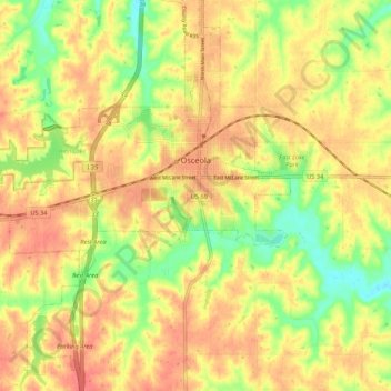
Name: Osceola topographic map, elevation, terrain.
Location: Osceola, Clarke County, Iowa, 50213, USA (41.01484 -93.81745 41.06713 -93.74051)
Average elevation: 334 m
Minimum elevation: 300 m
Maximum elevation: 354 m