
Le Bec topographic map
Interactive map
Click on the map to display elevation.
About this map
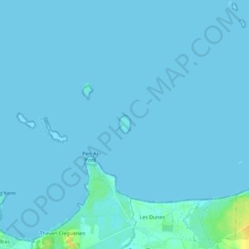
Name: Le Bec topographic map, elevation, terrain.
Average elevation: 1 m
Minimum elevation: -1 m
Maximum elevation: 23 m
Other topographic maps
Click on a map to view its topography, its elevation and its terrain.
Strejou
France > Bretagne > Finistère > Lampaul-Ploudalmézeau
Strejou, Lampaul-Ploudalmézeau, Brest, Finistère, Bretagne, France métropolitaine, 29830, France
Average elevation: 56 m