
Alto Cohembí topographic map
Interactive map
Click on the map to display elevation.
About this map
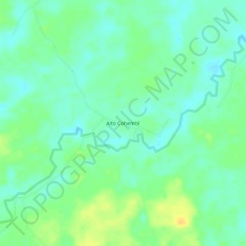
Name: Alto Cohembí topographic map, elevation, terrain.
Location: Alto Cohembí, Puerto Asís, Putumayo, RAP Amazonía, Colombia (0.35227 -76.61092 0.39227 -76.57092)
Average elevation: 259 m
Minimum elevation: 249 m
Maximum elevation: 275 m
Other topographic maps
Click on a map to view its topography, its elevation and its terrain.
Santana
Colombia > Putumayo > Puerto Asís
Santana, Puerto Asís, Putumayo, RAP Amazonía, Colombia
Average elevation: 264 m