
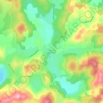
La Baraque de Trémolet topographic map
Interactive map
Click on the map to display elevation.
About this map
Name: La Baraque de Trémolet topographic map, elevation, terrain.
Average elevation: 855 m
Minimum elevation: 775 m
Maximum elevation: 962 m
Other topographic maps
Click on a map to view its topography, its elevation and its terrain.
Le Massegros
France > Occitanie > Lozère > Massegros Causses Gorges
Le Massegros, Massegros Causses Gorges, Florac, Lozère, Occitanie, France métropolitaine, 48500, France
Average elevation: 880 m