
Thank you for supporting this site ❤️
Make a donation
Make a donation
Ninfield topographic map
Click on the map to display elevation.
Thank you for supporting this site ❤️
Make a donation
Make a donation
About this map
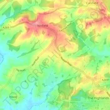
Name: Ninfield topographic map, elevation, terrain.
Location: Ninfield, Wealden, East Sussex, England, United Kingdom (50.85604 0.37980 50.89692 0.45013)
Average elevation: 37 m
Minimum elevation: -1 m
Maximum elevation: 85 m
Thank you for supporting this site ❤️
Make a donation
Make a donation