
Kolka topographic map
Interactive map
Click on the map to display elevation.
About this map
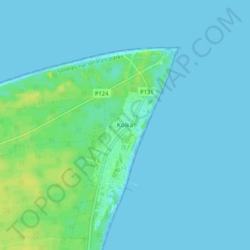
Name: Kolka topographic map, elevation, terrain.
Location: Kolka, Kolkas pagasts, Talsu novads, Courland, Latvia (57.72655 22.56950 57.76655 22.60950)
Average elevation: 3 m
Minimum elevation: 0 m
Maximum elevation: 14 m