
Thank you for supporting this site ❤️
Make a donation
Make a donation
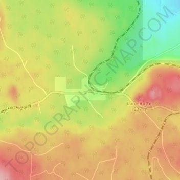
Lone Butte topographic map
Click on the map to display elevation.
Thank you for supporting this site ❤️
Make a donation
Make a donation
Lone Butte
The northward advance of the Pacific Great Eastern Railway (PGE) rail head passed through Lone Butte in late April 1919. This construction camp had a large kitchen employing 25 cooks, of whom two received the Distinguished Conduct Medal and three the Military Medal during World War I. At an elevation of about 1,140 metres (3,740 ft), the former station was the highest on the line.
Thank you for supporting this site ❤️
Make a donation
Make a donation
About this map
Name: Lone Butte topographic map, elevation, terrain.
Average elevation: 1,159 m
Minimum elevation: 1,084 m
Maximum elevation: 1,225 m
Thank you for supporting this site ❤️
Make a donation
Make a donation