
St. Leonhard topographic map
Interactive map
Click on the map to display elevation.
About this map
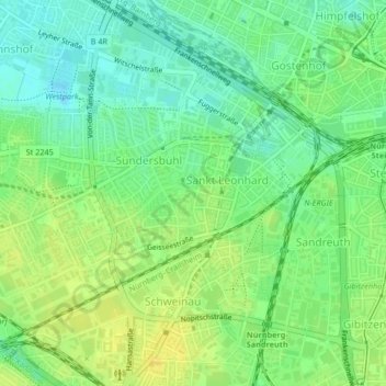
Name: St. Leonhard topographic map, elevation, terrain.
Location: St. Leonhard, Neurenberg, Beieren, 90439, Duitsland (49.43249 11.03590 49.44496 11.06426)
Average elevation: 313 m
Minimum elevation: 301 m
Maximum elevation: 324 m