
Vaux-sur-Sûre topographic map
Interactive map
Click on the map to display elevation.
About this map
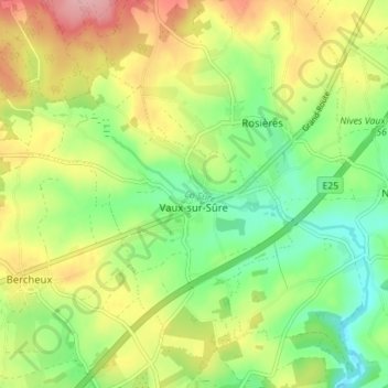
Name: Vaux-sur-Sûre topographic map, elevation, terrain.
Location: Vaux-sur-Sûre, Bastenaken, Luxemburg, Wallonië, België (49.89249 5.51446 49.93150 5.58453)
Average elevation: 470 m
Minimum elevation: 413 m
Maximum elevation: 546 m