
Isla de Flores topographic map
Interactive map
Click on the map to display elevation.
About this map
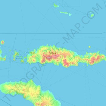
Name: Isla de Flores topographic map, elevation, terrain.
Location: Isla de Flores, KABUPATEN MANGGARAI, NTT, Indonesia (-8.95658 119.79610 -8.06340 123.02104)
Average elevation: 77 m
Minimum elevation: 0 m
Maximum elevation: 2,301 m
Other topographic maps
Click on a map to view its topography, its elevation and its terrain.