
Engure topographic map
Interactive map
Click on the map to display elevation.
About this map
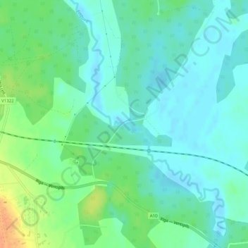
Name: Engure topographic map, elevation, terrain.
Location: Engure, Kalnenieki, Ventspils novads, Courland, Latvia (57.27738 22.06489 57.27743 22.06518)
Average elevation: 25 m
Minimum elevation: 14 m
Maximum elevation: 52 m
Other topographic maps
Click on a map to view its topography, its elevation and its terrain.
Engure
Latvia > Courland > Ventspils novads
Engure, Ventspils novads, Courland, Latvia
Average elevation: 23 m