
Harre topographic map
Interactive map
Click on the map to display elevation.
About this map
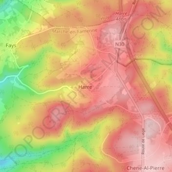
Name: Harre topographic map, elevation, terrain.
Location: Harre, Marche-en-Famenne, Luxemburg, Wallonië, België (50.33168 5.63879 50.37168 5.67879)
Average elevation: 410 m
Minimum elevation: 265 m
Maximum elevation: 498 m