
Bandeville topographic map
Interactive map
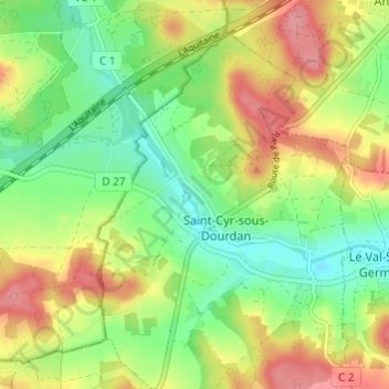
Click on the map to display elevation.
About this map
Name: Bandeville topographic map, elevation, terrain.
Average elevation: 113 m
Minimum elevation: 72 m
Maximum elevation: 164 m
Other topographic maps
Click on a map to view its topography, its elevation and its terrain.
Levimpont
France > Île-de-France > Essonne > Saint-Cyr-sous-Dourdan
Levimpont, Saint-Cyr-sous-Dourdan, Étampes, Essonne, Île-de-France, France métropolitaine, 91410, France
Average elevation: 116 m