
Muhuri River topographic map
Interactive map
Click on the map to display elevation.
About this map
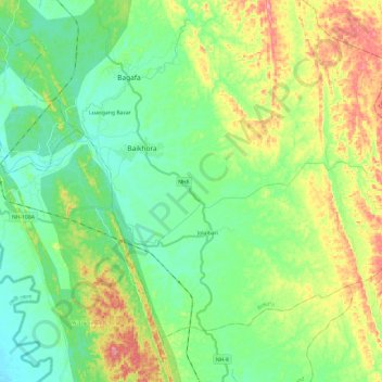
Name: Muhuri River topographic map, elevation, terrain.
Location: Muhuri River, South Tripura, Tripura, 799144, India (23.21560 91.47487 23.27021 91.71490)
Average elevation: 49 m
Minimum elevation: 10 m
Maximum elevation: 129 m