
Gosselies topographic map
Interactive map
Click on the map to display elevation.
About this map
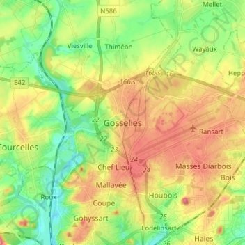
Name: Gosselies topographic map, elevation, terrain.
Location: Gosselies, Charleroi, Hainaut, Wallonie, 6041, Belgique (50.42538 4.39018 50.50538 4.47018)
Average elevation: 148 m
Minimum elevation: 104 m
Maximum elevation: 203 m