
Thank you for supporting this site ❤️
Make a donation
Make a donation
Cross Dete topographic map
Click on the map to display elevation.
Thank you for supporting this site ❤️
Make a donation
Make a donation
About this map
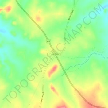
Name: Cross Dete topographic map, elevation, terrain.
Location: Cross Dete, Hwange, Matabeleland North Province, Zimbabwe (-18.50729 26.89993 -18.46729 26.93993)
Average elevation: 1,020 m
Minimum elevation: 986 m
Maximum elevation: 1,062 m
Thank you for supporting this site ❤️
Make a donation
Make a donation
Other topographic maps
Click on a map to view its topography, its elevation and its terrain.
Victoria Falls
Zimbabwe > Matabeleland North Province > Hwange > Victoria Falls
Average elevation: 881 m
Victoria Falls
Zimbabwe > Matabeleland North Province > Hwange > Victoria Falls
Average elevation: 881 m
Devil's Cataract
Zimbabwe > Matabeleland North Province > Hwange > Victoria Falls
Average elevation: 884 m