
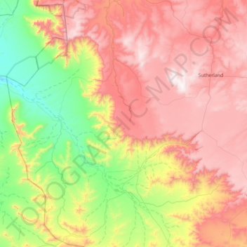
Karoo Hoogland Ward 4 topographic map
Interactive map
Click on the map to display elevation.
About this map
Name: Karoo Hoogland Ward 4 topographic map, elevation, terrain.
Average elevation: 1,064 m
Minimum elevation: 389 m
Maximum elevation: 1,843 m
Other topographic maps
Click on a map to view its topography, its elevation and its terrain.
Karoo Hoogland Local Municipality
RSA > Northern Cape > Karoo Hoogland Local Municipality
Karoo Hoogland Local Municipality, Namakwa District Municipality, Northern Cape, RSA
Average elevation: 1,101 m