
Ngelo topographic map
Interactive map
Click on the map to display elevation.
About this map
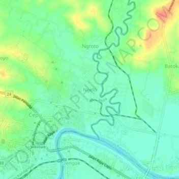
Name: Ngelo topographic map, elevation, terrain.
Location: Ngelo, Blora, Central Java, 58211 - 58219, Indonesia (-7.15547 111.58528 -7.11547 111.62528)
Average elevation: 36 m
Minimum elevation: 19 m
Maximum elevation: 68 m