
Jeker topographic map
Interactive map
Click on the map to display elevation.
About this map
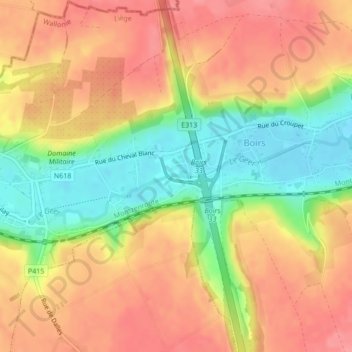
Name: Jeker topographic map, elevation, terrain.
Location: Jeker, Bitsingen, Luik, Wallonië, 4690, België (50.75131 5.56877 50.75150 5.57103)
Average elevation: 120 m
Minimum elevation: 74 m
Maximum elevation: 151 m