
Basharat topographic map
Interactive map
Click on the map to display elevation.
About this map
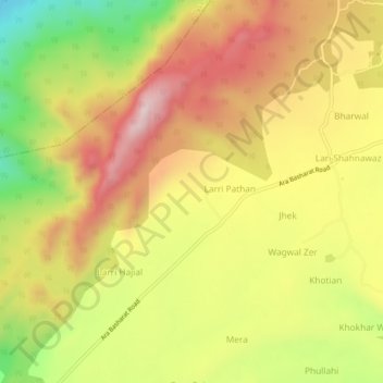
Name: Basharat topographic map, elevation, terrain.
Location: Basharat, Gujrāt District, Punjab, Pakistan (32.76232 73.07234 32.80232 73.11234)
Average elevation: 882 m
Minimum elevation: 611 m
Maximum elevation: 1,107 m