
Den Hout topographic map
Interactive map
Click on the map to display elevation.
About this map
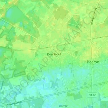
Name: Den Hout topographic map, elevation, terrain.
Location: Den Hout, Beerse, Turnhout, Antwerpen, Vlaanderen, 2340, België (51.30200 4.81344 51.34200 4.85344)
Average elevation: 26 m
Minimum elevation: 18 m
Maximum elevation: 33 m
Other topographic maps
Click on a map to view its topography, its elevation and its terrain.